

Full description not available
S**N
Essential Companion to First World War History
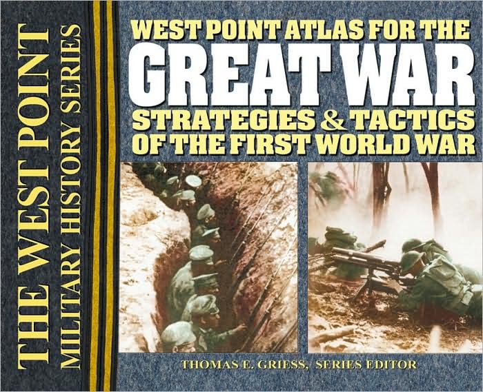
ABOUT MEI am a very amateur historian of the Great War. I read a fair number of military history books.THE REVIEWHow many times have you been frustrated reading books on military history, wars, and battles by either the complete absence of maps, the scarcity of maps, the abysmal quality of the maps, and the size of the maps? Maps that are split across pages and the area you want to study is right down the center and inaccessible save ripping the pages out? Place names mentioned in the text but not on the map? Not only this, many so-called military atlases seem to major on text and photos to the detriment of maps?I'm currently reading Alexander Watson's Ring of Steel and the maps in this book are average. I had the Viking Atlas of World War One alongside to help. It helped a bit. Experiencing some of the problems above, I reserved the West Point Atlas for the Great War/Griess [WPAFTGW] from my local library. Within five minutes of opening it, I knew that this was it.CONTENTSMaps1-2: On the Eve of War3-4, 24: War Plans5-10: Battle of the Frontiers, Battle of the Marne, 191411: Stabilized Front in the West, 1915-191612: Battle of Verdun, 191613: Battle of the Somme, 191614-15, 20: Operations in Italy, 1915-191816-17: The Western Front, 191718-19: German Offensives in the West, 191821-23: Allied Offensives in the West, 191825-27: Tannenberg Campaign, 191428-31: The Eastern Front, 1914-191532-33, 36-39: Operations in the Balkans, 1914-191634-35, 40-41: The Eastern Front, 1916-191742-50: Operations in Peripheral Areas 1914-1917 (Palestine, Gallipoli, Egypt, Mesopotamia)(45: Jutland)51-52: Political Realignments 1919What you get are 52 color maps, one-per-page, spiral bound in landscape mode [spiral across the long edge.] The maps are roughly 9.5 x 12.5 inches and encompass the world before the war, all the major land actions during the war, an overview of Jutland, and the situation at the end of the war. The legend is clear; each map is precisely titled; standard military unit symbols are used, the movements of armies etc. are marked, distinguishing advance and retreat, opening and closing positions. Railways, rivers, major highways and significant geographical features are mapped, and short bursts of text clear up any ambiguities. It is pure pleasure to study history with such a quality resource. The interested non-specialist will learn much by having this book to hand.Of course it is not a panacea -- there will doubtless be many texts that describe details of Great War battles and campaigns not represented in the WPAFTGW, and only the land war [excepting Jutland] is covered. But from several decades in reading WWI military history books and trying to understand what is going on, I wish I'd found this book years ago. Within 24 hours of getting my library's copy, I'd ordered my own.Highly recommended.
J**C
Absolutelu invaluable for students of WW1
I don't know how you could read any history of WW1 without having this set of maps as your constant companion. This book is absolutely invaluable to anyone who wants to understand The Great War.
M**E
Beautiful maps; good companion book for reading
On its own, I found the maps in this book to be very helpful while reading other books. I've frequently turned to it while reading a paperback version of "The Guns of August," for example. And while some narrative books have their own maps, they can often be inadequate or just hard to read.With the large, spiral-bound format of this book, you can study the maps and troop movements carefully. The "major" theaters are covered (France, Italy, the Eastern Front, the Middle East), and the focus is on land campaigns.Just a note before buying: This book does not include any explanatory text. You'll need a companion "West Point" book for that (which, if I get it, I'll review separately).
E**R
Best WWI Maps Available
This is by far the best set of maps you will find for World War I. If you're like me, you've been underwhelmed by the lack of detail in inset maps, and even in supposed "atlases" that are available on Amazon. Look no further, friends. This is it. It has extensive, enormous, detailed maps of every aspect of World War I, including Western Front battles, Eastern Front battles, Italy, the Balkans, Turkey, Mesopotamia, naval battles, etc. Worth every penny.
K**M
Am currently reading the Kindle version of John Keegan's THE ...
Am currently reading the Kindle version of John Keegan's THE FIRST WORLD WAR. This atlas has been a necessity to follow the battles because of the lack of clear maps in Keegan's book.
P**E
The size and scale are excellent and they are totally readable
These maps are crystal clear. The size and scale are excellent and they are totally readable. I use them in conjunction with other books about WW1 because none of the other books offer any readable maps. Understand that this is only a book of maps however, and has nothing to offer but the maps themselves. I have ordered " The Great War" that goes with this set of maps but haven't received it yet.
G**3
prompt delivery
Book gets four stars. Vendor gets five stars.
J**M
Few details about western front battles
If you want very detailed maps of individual major battles, particularly on the Western Front, you will need a different book (possibly the Arthur Banks book). The West Point volume shows more the battle line at major points in the war. I had previously purchased the West Point Atlas of Napoleonic Wars, which unlike the WWI book, has more details about the individual major battles.
Trustpilot
5 days ago
3 weeks ago